
Featured news
Freight Traffic Vs. Tariffs Impact – Trend Tracker
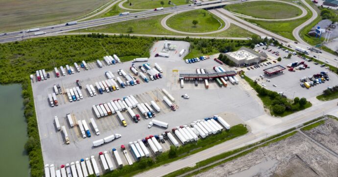
Through our cross-border freight and port activity tracker, we cut through the complexity, offering clear, real-world insights into unfolding trends. By monitoring granular changes in HDV operations at these key trade nexuses, we empower businesses to better anticipate challenges, seize opportunities and navigate geopolitical influences on North American freight movement.