Vehicle Miles Traveled (VMT)
View VMT by vehicle class, vocation or fuel type to understand corridor wear, freight intensity and energy demand.

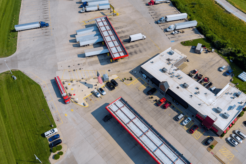
Deliver smarter freight and infrastructure planning with scalable VMT, idling and expansion metrics segmented by vehicle class and geography.
The Regional Travel Metrics (RTM) module transforms raw GPS data into scaled, defensible metrics that transportation planners rely on—from vehicle miles traveled (VMT) and idling trends to route behavior and regional expansion analysis.
With vehicle classification and expansion factors built-in, RTM replaces manual counts and stitched-together datasets with a scalable, auditable view of corridor demand, usage and congestion trends.
Use RTM to validate freight investments, prioritize infrastructure upgrades and support data-driven grant submissions for NHFP, RAISE and INFRA programs.

Access auditable, segment-level metrics for traffic volumes, idling and congestion by time of day and vehicle class—delivered in a planner-friendly UI or API.
Altitude’s built-in scaling methodology uses a transparent, first-party data approach to generate defensible VMT metrics for regional analysis—enabling planners to estimate total commercial movement, not just sample counts.
With coverage from over 4 million commercial vehicles, RTM delivers insights classified by vehicle type, vocation and fuel type—maintaining data accuracy and policy relevance for infrastructure or sustainability planning.
RTM enables multi-metric analysis by geography, vehicle class, time of day and industry, helping planners explore freight movement, peak-hour congestion or emissions risk zones in a unified view.
All data is anonymized and privacy-compliant. Altitude provides granular insight without compromising sensitive driver, vehicle or fleet data.
Use integrated insights to understand how commercial vehicle flows vary across segments, times and vehicle classes—supporting better capital planning, grant success and emissions analysis.
View VMT by vehicle class, vocation or fuel type to understand corridor wear, freight intensity and energy demand.
Surface idling hotspots by vehicle class and location to target congestion mitigation and air quality improvements.
See hourly and daily variation in commercial traffic by road segment or region—supporting safety audits, peak-period relief and truck route planning.
Analyze traffic flows entering and exiting zones to estimate commercial demand, last-mile pressures or investment need across planning geographies.
Move beyond generic traffic models with insights built from observed behavior—so you can plan and defend infrastructure investments with confidence.


Altitude by Geotab delivers first-party commercial vehicle data and trusted mobility analytics for public-sector transportation leaders.
With Regional Travel Metrics and Stop Analytics, we provide transparent, policy-ready insights into corridor usage, vehicle volumes and behavioral trends—so planners can optimize infrastructure, justify funding and stay ahead of change.
As the source and processor of mobility data, Altitude prioritizes confidentiality and analytical integrity, making complex freight and travel planning simple, scalable and trusted.

Book a demo to see how RTM helps you benchmark corridor usage, reveal demand and plan confidently with scalable VMT, idling data and Expansion Factors.