Tailor outputs to your planning context
Filter and segment data by geography, road type, vehicle class, vocation or fuel type to generate purpose-built insights that match your reporting needs.

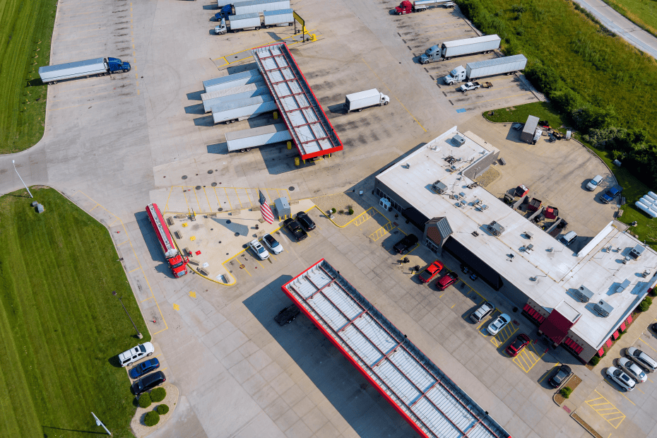
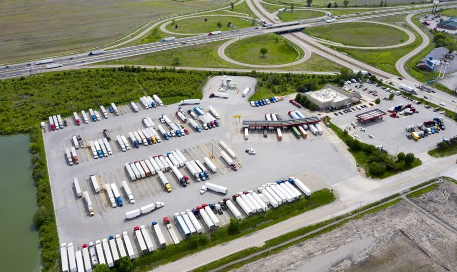
Unlock smarter transportation, parking and infrastructure plans with detailed stop behavior across a region, corridor or road segment—including new hourly insights into parking duration.
The Stop Analytics module provides comprehensive, reliable insights to address the challenge of incomplete vehicle stop data. With the addition of Hourly Parking Events, users can now go beyond simply knowing where trucks stop—they can understand how long vehicles remain parked, hour by hour. This enables better planning for truck parking, EV charging and infrastructure investment. Transportation agencies, utilities, consultants and developers can make more informed decisions with confidence.
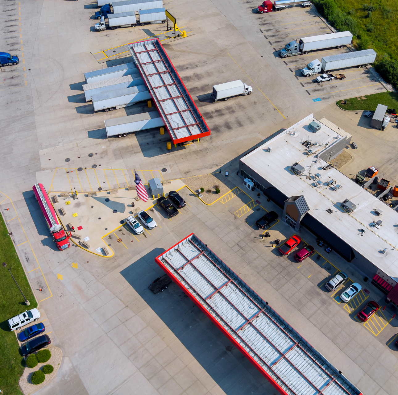
Achieve a deeper understanding of stop behavior with granular, transparent data—including duration analysis that highlights how long trucks stay parked at a location throughout the day. Identify unmet parking demand, optimize rest area utilization and pinpoint infrastructure gaps.
As the primary source of commercial vehicle data, Altitude delivers insights with unmatched integrity from over four million vehicles—providing detailed, trustworthy information on vehicle class, vocation fuel type, and industry. With the addition of Hourly Parking Events, users gain even deeper visibility into how long vehicles remain parked, not just where they stop—turning moment-in-time data into meaningful, time-based infrastructure signals.
Leverage a multi-year historical archive of vehicle movements, class and stop behavior—including hourly parking duration patterns. This long-term perspective supports more accurate forecasting, better capacity planning and stronger justification for infrastructure investment.
Access consistent and reliable vehicle and trip-level information across multiple dimensions, such as fuel type, vocation, industry and parking duration. The integration of Hourly Parking Events adds critical duration-based context to stop behavior—helping planners distinguish between high-frequency vs. high-occupancy parking locations.
Our platform adheres to strict confidentiality and privacy standards, delivering valuable transportation insights without compromising driver, vehicle, or company identity. Even with granular data like hourly parking patterns, all insights are fully aggregated and privacy-safe.
Use intuitive filtering and aggregation tools to segment and analyze vehicle stop data, offering actionable insights to support freight planning, safety improvements and infrastructure strategy.
Filter and segment data by geography, road type, vehicle class, vocation or fuel type to generate purpose-built insights that match your reporting needs.
Analyze stop behavior across multiple aggregation modes—including zones, road segments, related roads and hexes—providing planners and analysts with location-specific flexibility.
Quickly observe trends by filtering stops and parked events by hour of day, day of week or vehicle characteristics—revealing when and how commercial demand peaks.
With Hourly Parking Events, go beyond arrival counts to see how long vehicles remain parked hour by hour—unlocking accurate demand signals for truck parking, EV charging and rest area planning.
Explore vehicle behavior across regions, corridors and competitive zones to understand how stop dynamics vary by location—and where unmet demand or opportunity exists.
Leverage detailed vehicle stop data—including new hourly duration tracking—to support truck parking studies, grant justifications, curbside strategies and infrastructure development.
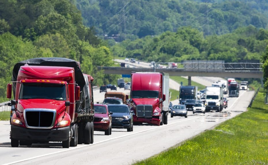

Altitude by Geotab provides reliable and contextualized mobility insights for public and commercial sector decision-makers to gain a complete understanding of movements across road networks.
This enables our customers to achieve improved planning capabilities as well as better financial outcomes, without the challenge of finding trustworthy and usable data sets.
As the primary source and processor of mobility data, we prioritize complete confidentiality and privacy while maintaining the full context of vehicle movements.

Unlock detailed insights into where trucks stop, how long they stay and what that means for infrastructure planning. Book a demo to see how Hourly Parking Events and Stop Analytics can help you identify gaps, optimize investment and support federal freight strategy.