New – Smarter Freight Planning You Can See
Regional Travel Metrics is now in the UI—quickly break down VMT by vehicle type to align corridor upgrades with real-world usage.
Enhance planning for roads, infrastructure and safety projects by understanding vehicle movements from the leading source & processor of mobility data.
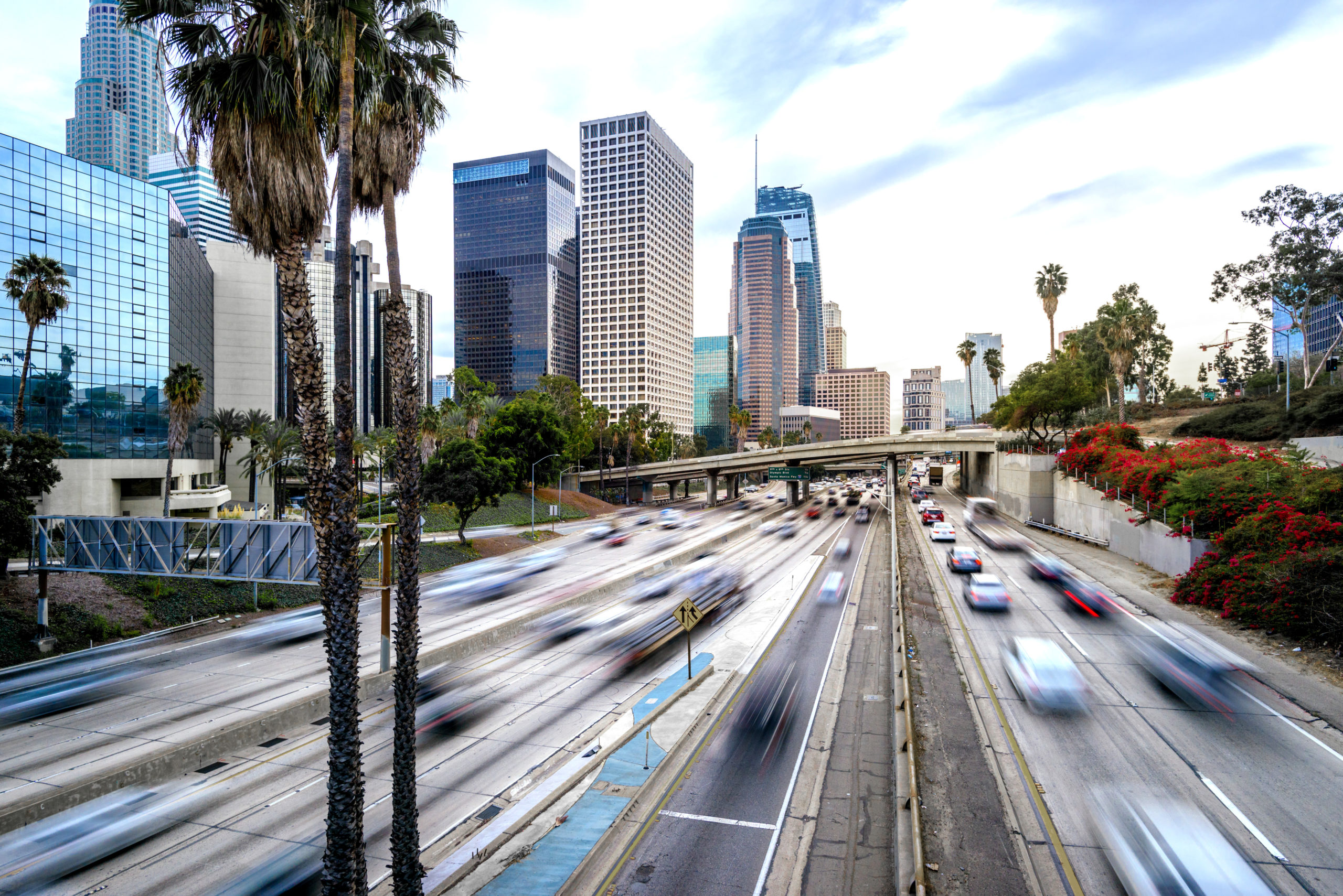
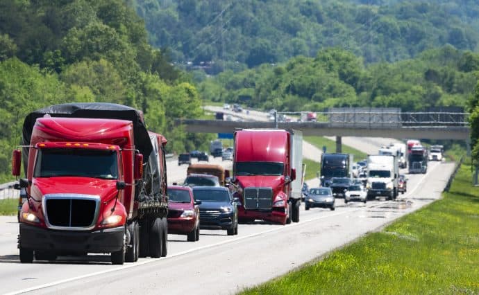
![]() In North America, Altitude’s connected vehicles provide data coverage for 99.9% of primary roadways across the continent.
In North America, Altitude’s connected vehicles provide data coverage for 99.9% of primary roadways across the continent.
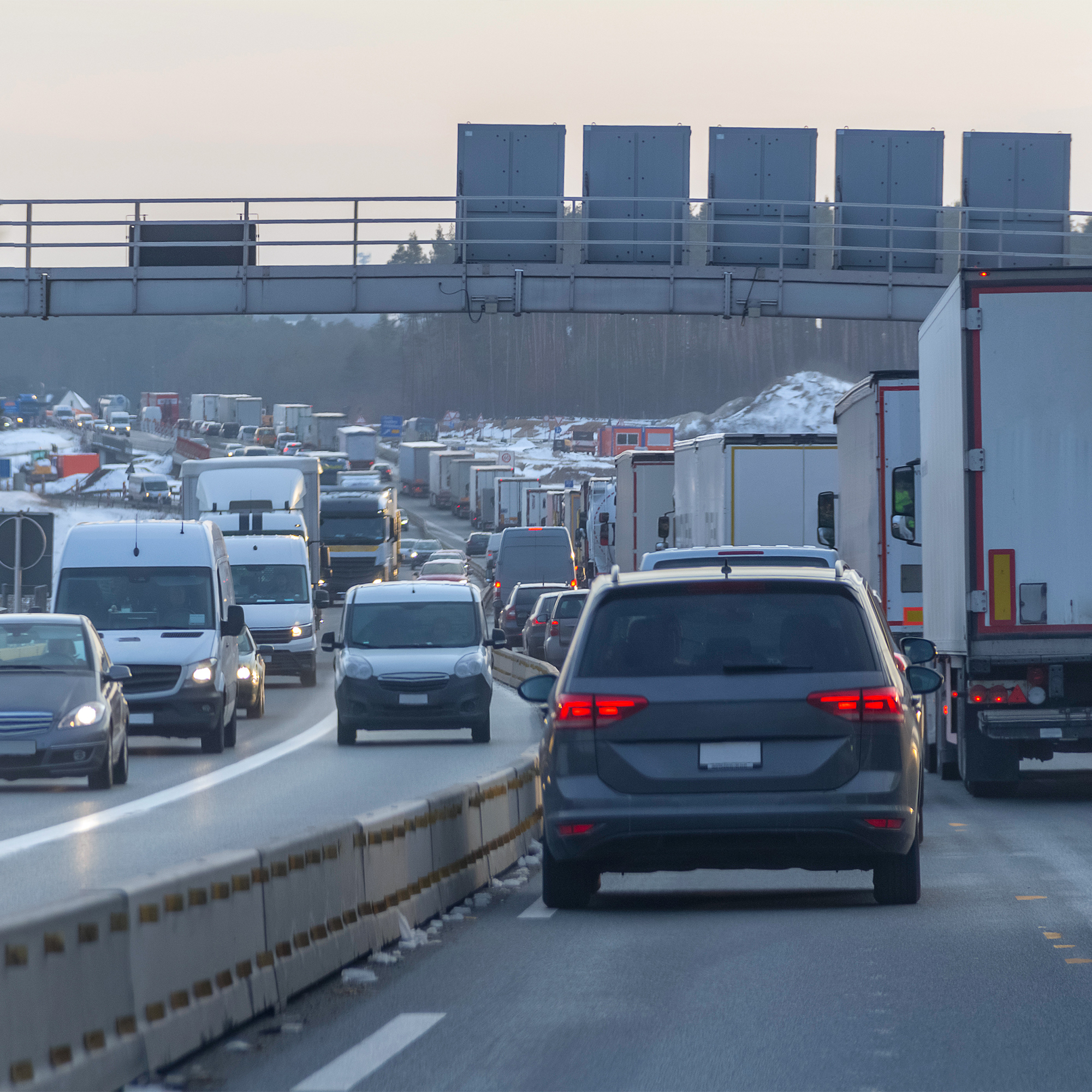
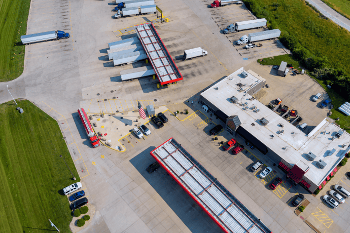
![]() Beyond just traffic counts, we provide detailed traffic insights by vehicle type and class, vocation, fuel type and industry for granular road segments.
Beyond just traffic counts, we provide detailed traffic insights by vehicle type and class, vocation, fuel type and industry for granular road segments.
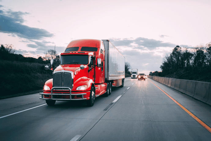
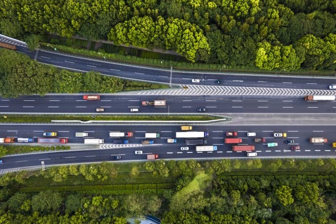
![]() Driven to enable the seamless, and efficient movement of people and goods for improved economic outcomes and quality of life for everyone.
Driven to enable the seamless, and efficient movement of people and goods for improved economic outcomes and quality of life for everyone.


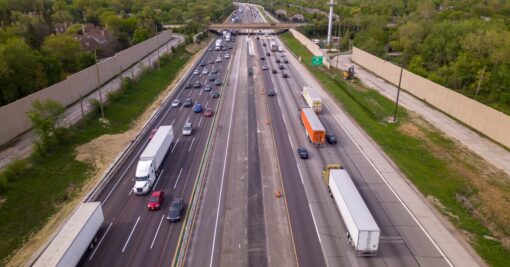
Regional Travel Metrics is now in the UI—quickly break down VMT by vehicle type to align corridor upgrades with real-world usage.


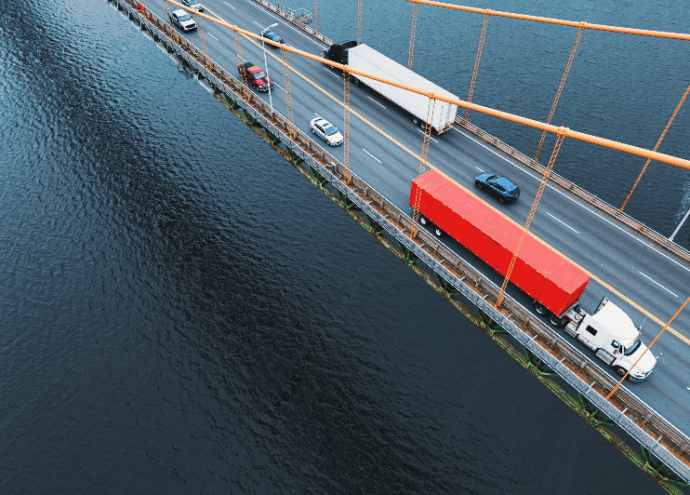
Leverage complete visibility into road network movements to reveal insights critical for better planning.
Enhance planning capabilities with reliable data insights for transportation planners.
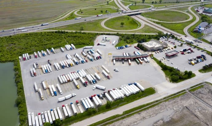
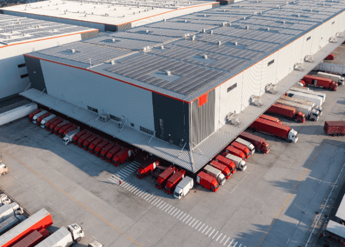
Build a better freight plan with comprehensive truck movement and stop data.
Implement preventative measures with insights into harsh driving risks before collisions occur.
Pinpoint the best location with segmentable traffic insights for real estate developers.
Choose better sites for charging and refueling depots with insights into truck dwell times and range.

Forecast where commercial customers require service upgrades for commercial EV charging.
Unlock comprehensive mobility insights and achieve a complete understanding of road network movements.