

Class-Specific AADT, Earlier
Access previous-year heavy-duty and medium-duty AADT within 90 days of year-end — providing more up-to-date, reliable and defensible volumes while they are still relevant to your planning cycle.
Data-driven evidence for regional infrastructure
Public-sector planning should not stall because transportation volumes arrive years late. The Altitude platform provides a clearer picture of road network movements by delivering validated traffic volumes just three months after year-end — far sooner than the industry standard.
Unlike other sources, Altitude provides separate heavy-duty and medium-duty truck counts. This gives transportation planners the vehicle-level detail they need to help back up budgets, file reports on schedule and withstand federal review.
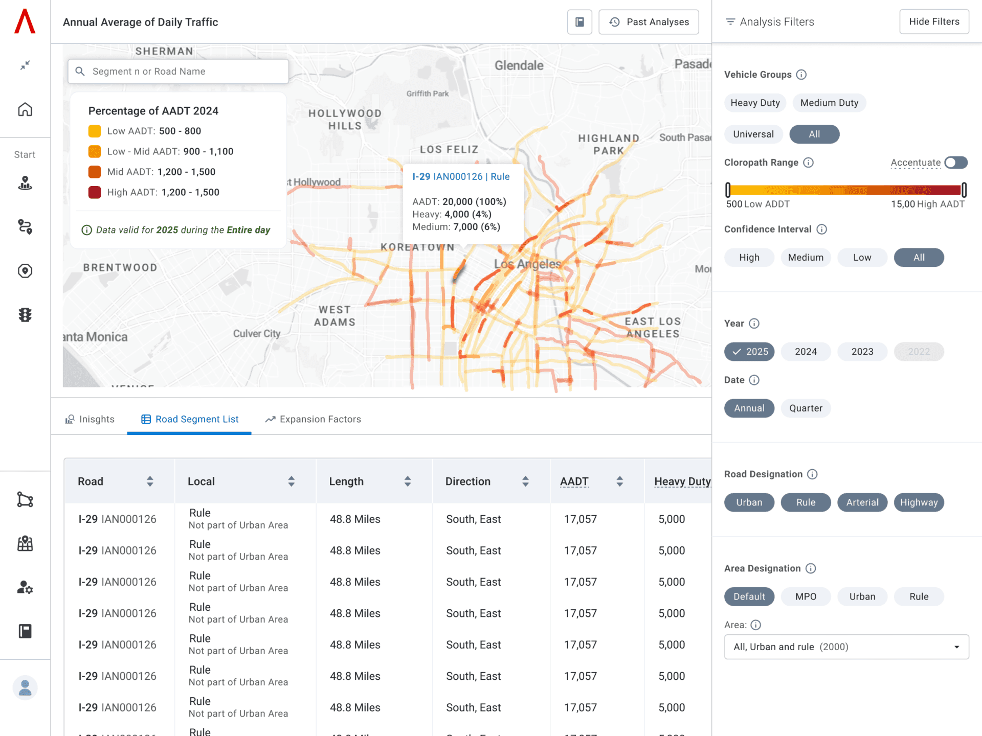
Accelerate reporting with validated traffic volumes
Access current, validated vehicle counts and classification insights to help accelerate grant applications and reporting cycles.
Altitude delivers validated traffic volumes just three months after year-end — far faster than the industry standard — so you can submit HPMS and MIRE reports on schedule.
Full-Network AADT at Segment Level
Our latest methodology white paper, Full-Network Traffic Volume Estimation: Altitude AADT Modeling Methodology, details how Altitude by Geotab closes the gap in segment-level AADT coverage for roads that have never carried an official count.
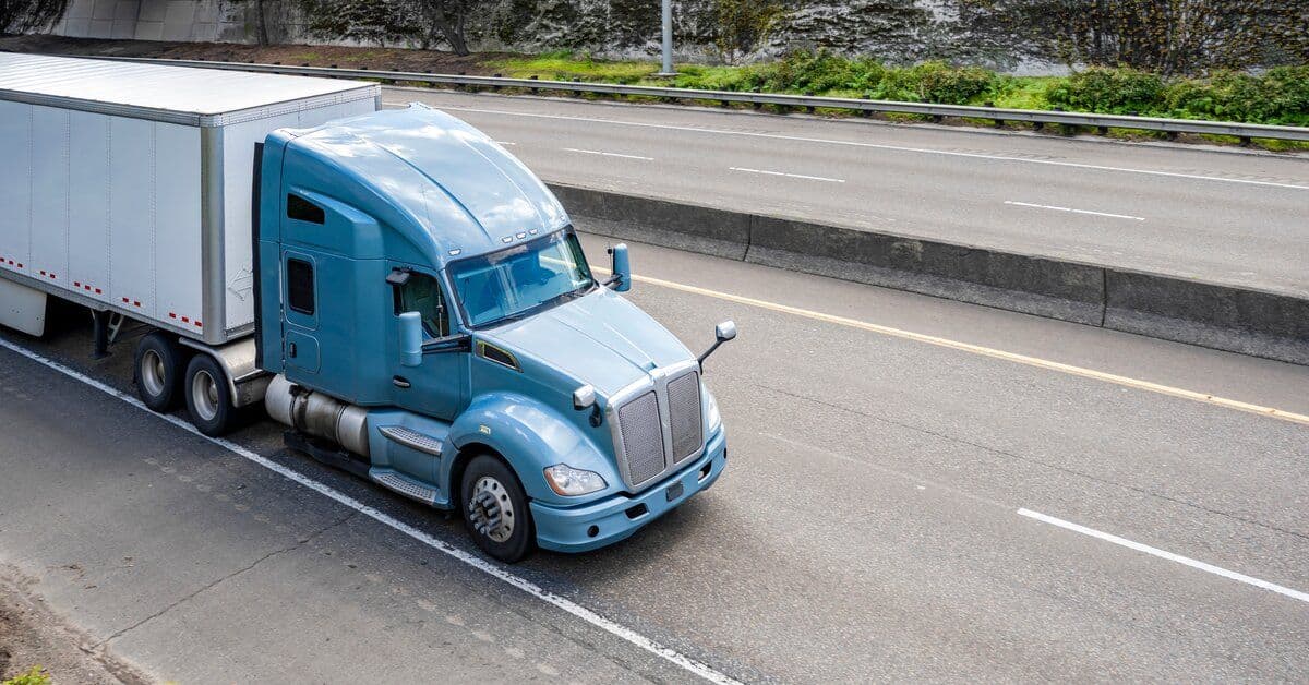
Strengthen grant applications and freight plans
Provide the defensible evidence required to help win grants and deliver plans that stand up to review across multiple planning scenarios.
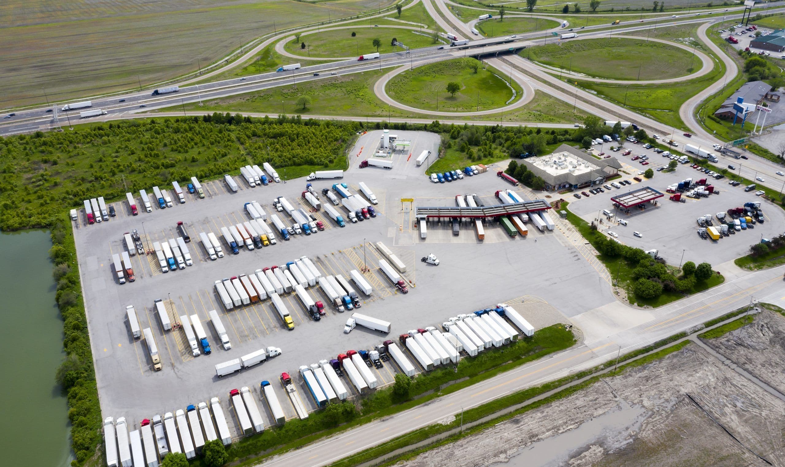
Freight parking plans
Support truck parking demand narratives with previous-year heavy-duty and medium-duty traffic volumes delivered while the data is still fresh.
Gain perspective with HD/MD AADT counts
Unlock the potential of your next project with traffic volumes delivered just three months after year-end. Discover how these class-specific insights help you build defensible freight plans and submit grant applications with confidence.