No pit stop required: Special event traffic management planning
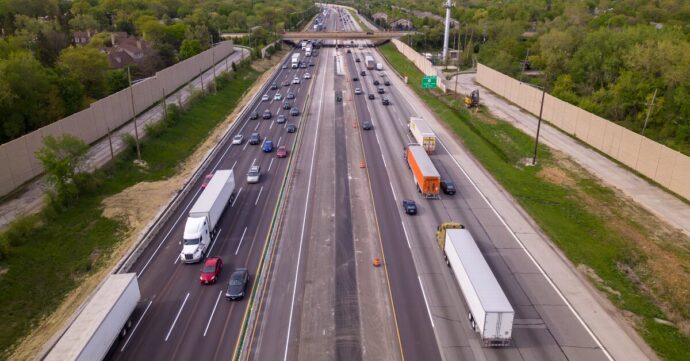
When auto racing shut down the Las Vegas Strip, freight kept moving. See how data-backed special event traffic management planning kept the city’s supply chain intact.

As 2025 closes, we’re taking stock of how Altitude by Geotab did over the past year. Not just internal KPIs and performance targets, although those are helpful indicators. But more importantly, we evaluate how we helped transportation in general by supporting the planners and organizations with boots on the literal ground of our nation’s transportation network.
Our mission is simple: Optimize freight movements.
Like you, we recognize freight’s significance to our nation’s economy, and its impact on our daily lives in multiple ways. If we help improve freight transportation, we know that contributes meaningfully to:
We contribute by giving agencies and consultants validated counts, freight context, and current site views so they have the best data for efficient planning. This makes efforts like grant applications, truck stop studies, and corridor modeling and plans easier to create and defend.
We spent a lot of 2025 responding to you, freight planners and managers, to support your goals and challenges. We heard you about needs for truck parking insights, improving safety, and more granular corridor analyses.
But most of all, we heard you on the pressures to do more with less. Our product team was charged in 2025 with shortening what we call “time-to-insight” by giving planners the tools to get the results they need faster. This helps our platform users spend less time setting up and more time delving into analytics.
For example, we developed Regional Travel Metrics to help users access real truck parking demand and corridor flows, not just arrival data. The metrics enable visualizing vehicle movements by geographic area. That means users can run a county-level analysis to see vehicle movements that didn’t have to start or end in that county.
We also added an Hourly Parking Events module to our API for more granular insights in creating demand analyses. This module shows for a period of time the number of vehicles parked in an area averaged by hour. It’s a quick way to surface potential hot spots, pinpointing areas that deserve a more detailed analysis for identifying peaks.
Faster time-to-insights can lead to effective policy changes, more funding awards, higher stakeholder engagement and faster project approvals. We’re proud of that.
For example, our ongoing truck parking study with HNTB is providing understanding of the state of truck parking for California. Caltrans tells us that Altitude will be a great resource for calibration and validation for highways and planning programs to reduce VMT. They will use Altitude to track VMT change, find bottlenecks and see VMT change at those locations. This granular level of freight planning data will have project-level impact for funding and budget opportunities — for example, a trade corridor enhancement program grant. Altitude’s insights can examine corridor-level data to make sure planners target the right project to improve corridor-level performance.
We are also proud to support improved safety via our collaboration with the Texas A&M Transportation Institute (TTI) and the Federal Highway Administration Office of Freight Management. Providing our harsh events data will help them identify high-risk road segments for improving truck safety on U.S. highways.
To continue our mission to optimize freight movements, we’ve got our eyes on several exciting goals for 2026:
Later in the year, we plan to develop a smarter network strategy to improve the way truck stops and fuel sites find customers. We want to make it easier for them to locate any site by name or type to build a complete picture of stops, dwell times and refueling events.
These fuel site reports will support safety by helping organizations locate truck stops where they are desperately needed. And they can fuel economic growth as the private sector moves into developing overnight parking.
All these improvements and more makes us excited about 2026! Freight travel faces significant challenges that we think we can help smooth, and lots of opportunities for movement optimization. It’s going to be a full year of implementing fresh ideas and listening closely for ways we can do better.
As we move into the new year, we’d love to hear from you about Altitude has helped support your important work, or improvements we can make. Contact us about your latest project!
When auto racing shut down the Las Vegas Strip, freight kept moving. See how data-backed special event traffic management planning kept the city’s supply chain intact.
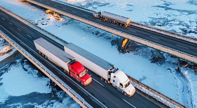
A wake up call for Southern freight planning: Winter Storm Fern cut commercial vehicle movement by 54% in Dallas. See what the data reveals, and what Southern transportation planners must do next.
Learn how freight corridor analysis helps planners identify stressed routes, forecast deterioration, plan detours and build defensible strategies to win funding.