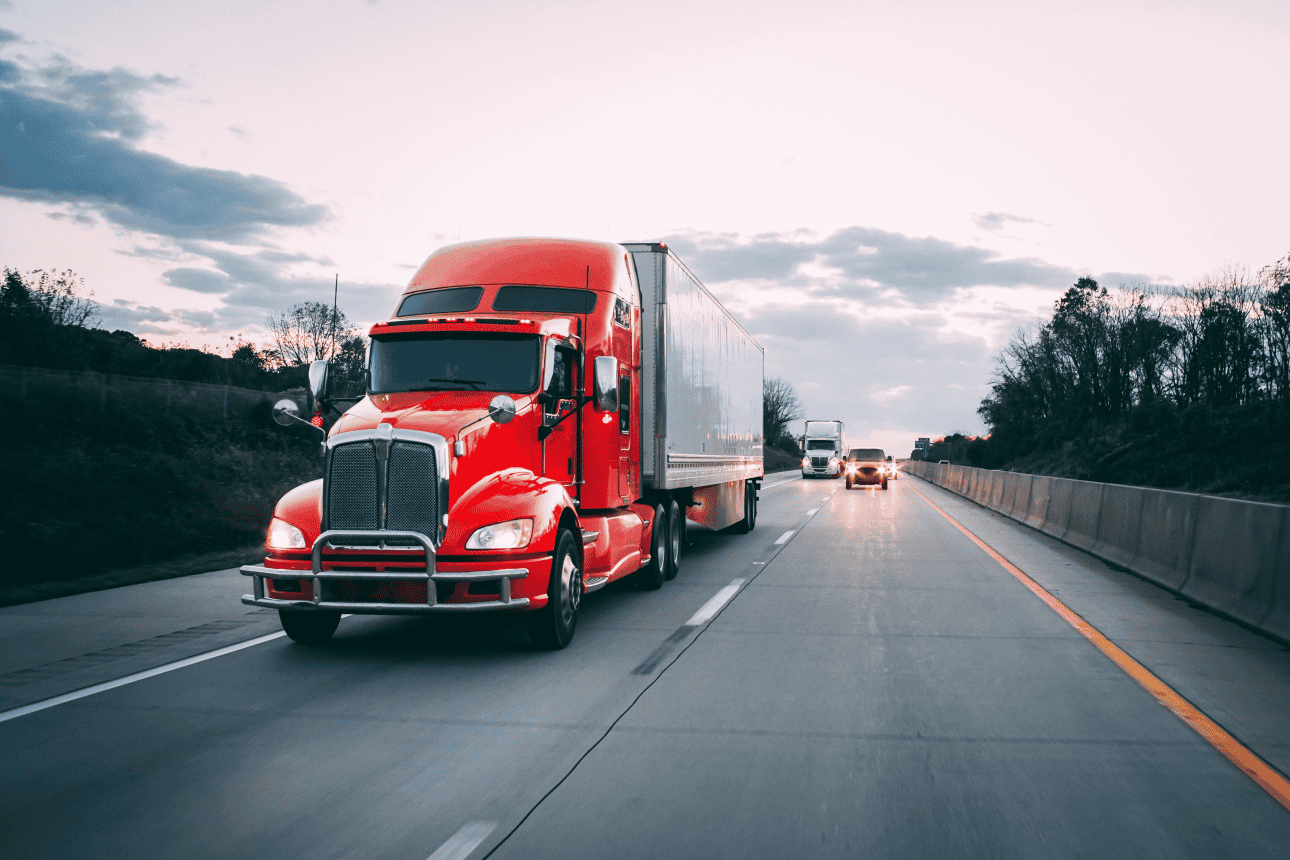
In the dynamic world of freight transportation, effective planning is paramount. As logistics and supply chain challenges continue to evolve, transportation planners are increasingly turning to advanced technology and data analytics to optimize operations and drive greater efficiency, safety and sustainability. Our recent webinar, “Bottlenecks, Parking, and Data-Driven Planning,” illuminated the transformative impact of leveraging insights from mobility data to address these critical freight challenges.
Unlocking deeper insights for smarter freight operations
The webinar showcased how Altitude empowers transportation planners with the crucial insights needed for data-driven decision-making. Experts highlighted the power of analyzing anonymized and aggregated truck volumes to pinpoint and mitigate congestion, ultimately improving freight movement across entire networks. This isn’t just about data; it’s about the actionable intelligence that helps planners understand the “why” behind traffic patterns and operational hurdles.
Stephen Yoon, Freight Data and Performance Manager at Caltrans, emphasized this point, stating, “I do hope this will be a great opportunity for all participants to consider your own approach or use case with this analytic platform.”” His experience underscores the shift towards leveraging tools and APIs for ongoing freight transportation planning and programs.
This data-centric approach offers a clear path to:
- Optimize routing and parking: Gain insights into aggregated truck movements, enabling more informed decisions about routing and identifying optimal parking solutions. This means less time wasted circling for spots and more efficient use of valuable infrastructure. Parker McCrary, Freight and Logistics Practice Consultant at HNTB, highlighted the uniqueness of this data: “You can see vehicle classifications. So class six, seven and eight trucks and […] also the driver vocation. So you can know, ‘is this a regional driver, or is this a long- haul, over-the-road driver?’”
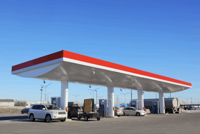
- Enhance regulatory compliance: Analyze insights into truck parking patterns to identify unauthorized parking issues, particularly for heavy-duty vehicles, and develop targeted strategies that influence driver behavior for better compliance. This helps reduce safety risks associated with roadside parking and enables freight operations to align with local regulations, benefiting both businesses and communities.
- Benchmark urban freight efficiency: Compare and contrast urban freight efficiency across different cities based on factors like congestion, resilience and readiness. This benchmarking capability allows planners to identify areas for improvement and learn from leading examples. Emily Porter, Senior Data Storyteller at Altitude by Geotab, explained the motivation: “Efficient freight movement is really important to economic growth, both from a national perspective, but also regionally and within cities. And understanding the network can help guide infrastructure planning to increase the efficiency of the network, specifically from a freight perspective.”
The critical role of collaborative transportation insights
Our webinar also underscored the vital importance of collaboration among transportation planners, data analysts and other stakeholders. The insights shared by presenters highlighted the necessity of leveraging accurate and relevant insights to inform policies and strategies. By fostering open communication and knowledge sharing, planners can use the experiences and expertise of others, leading to more effective and equitable freight solutions that prioritize collective well-being. This collaborative spirit helps the human element remain at the forefront of every planning decision.
Parker McCrary reflected on this, stating, “I have to say […] as I start this, how thrilled I am to see how Caltrans is using the [Altitude by] Geotab data not just to create freight plans, but to actually use it to begin implementing and managing the impact of some of the projects that you work on.” This sentiment perfectly captures the value of shared insights.
Comprehensive insights for informed transportation infrastructure planning
Discussions within the webinar also touched upon the power of Regional Travel Metrics (RTM). Eric Schmidt, Senior Product Marketing Manager from Altitude by Geotab, explained the core challenge RTM addresses: “Travel volumes are rising. There are more commuters. There’s more cargo, more commercial activity, but infrastructure budgets aren’t necessarily keeping pace. So you have a decision that you have to make. You can’t resurface and rebuild everything. So the question becomes, where do you focus first?”
Unlike traditional traffic counts that often provide limited, localized insights, RTM offers comprehensive visibility across extensive networks. This allows planners to analyze aggregated vehicle movements by type, location and even fuel consumption. This capability provides a clearer understanding of infrastructure needs, identifies critical bottlenecks across vast regions and allows for better resource allocation, ultimately leading to more sustainable transportation systems and optimized capital investments.
The horizon of freight planning: What’s next with Altitude?
The conversation surrounding data-driven freight planning is ongoing, with many exciting developments on the horizon. As the Altitude platform continues to evolve, with upcoming updates including a new urban freight efficiency benchmarking study and additional advanced analytics tools, transportation planners will have access to even more sophisticated insights. This continuous innovation enables enhanced decision-making capabilities, paving the way for improved freight efficiency and significant congestion reduction across North America and beyond.
Dive deeper: Request the webinar recording
The insights shared during the “Bottlenecks, Parking, and Data-Driven Planning” webinar offer a valuable roadmap for transportation planners looking to leverage data effectively. If you’re seeking to enhance freight operations, reduce congestion and make more informed transportation infrastructure decisions, this recording is an essential resource. It provides a more detailed look into the methodologies and successful applications discussed, offering practical strategies you can implement.
Ready to explore the full discussion and gain actionable insights for your projects?