Skip to Main Content

Product Demo

Experience how the Altitude platform transforms aggregated mobility data into critical insights for smarter transportation planning. Dive into our interactive demos and see how these insights can help you build safer, more sustainable and efficient transportation systems for your community.

Corridor Analysis

Gain a clearer understanding of your critical transportation corridors with Altitude’s Corridor Analysis. See how you can transform anonymized, aggregated mobility data into actionable insights on traffic flow, travel-time reliability and bottleneck locations. Use these insights to optimize route efficiency, improve safety and guide targeted infrastructure investments for smoother journeys and more resilient networks.

Commercial Vehicle Stop Analysis

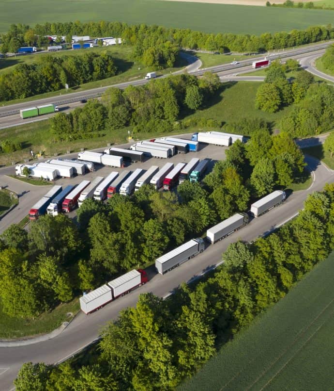
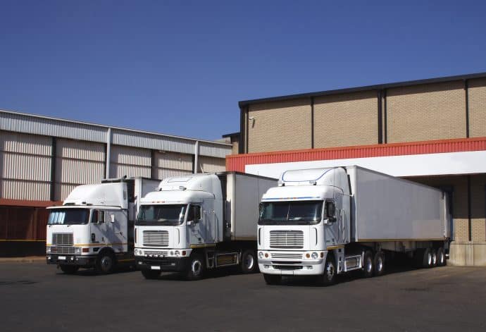
Understand the dynamics of commercial vehicle stops across your region with Altitude’s Commercial Vehicle Stop Analysis. Leverage anonymized, aggregated insights from a broad spectrum of commercial vehicles — including heavy-duty, medium-duty and light-duty — to identify crucial stopping locations, analyze dwell times and see patterns by time of day. These insights empower you to better plan for essential freight needs, optimize loading zone efficiency and develop infrastructure that supports the vital flow of goods in your community.

Custom Zones

Focus your transportation analysis exactly where it matters with Custom Zones on the Altitude platform. Define your own specific geographic areas — from project sites and corridors to neighborhoods or unique districts — and unlock hyper-relevant, aggregated mobility insights. Understand localized traffic dynamics, assess site-specific activity or compare performance across your custom-defined zones to support more precise planning and data-driven solutions for your community.