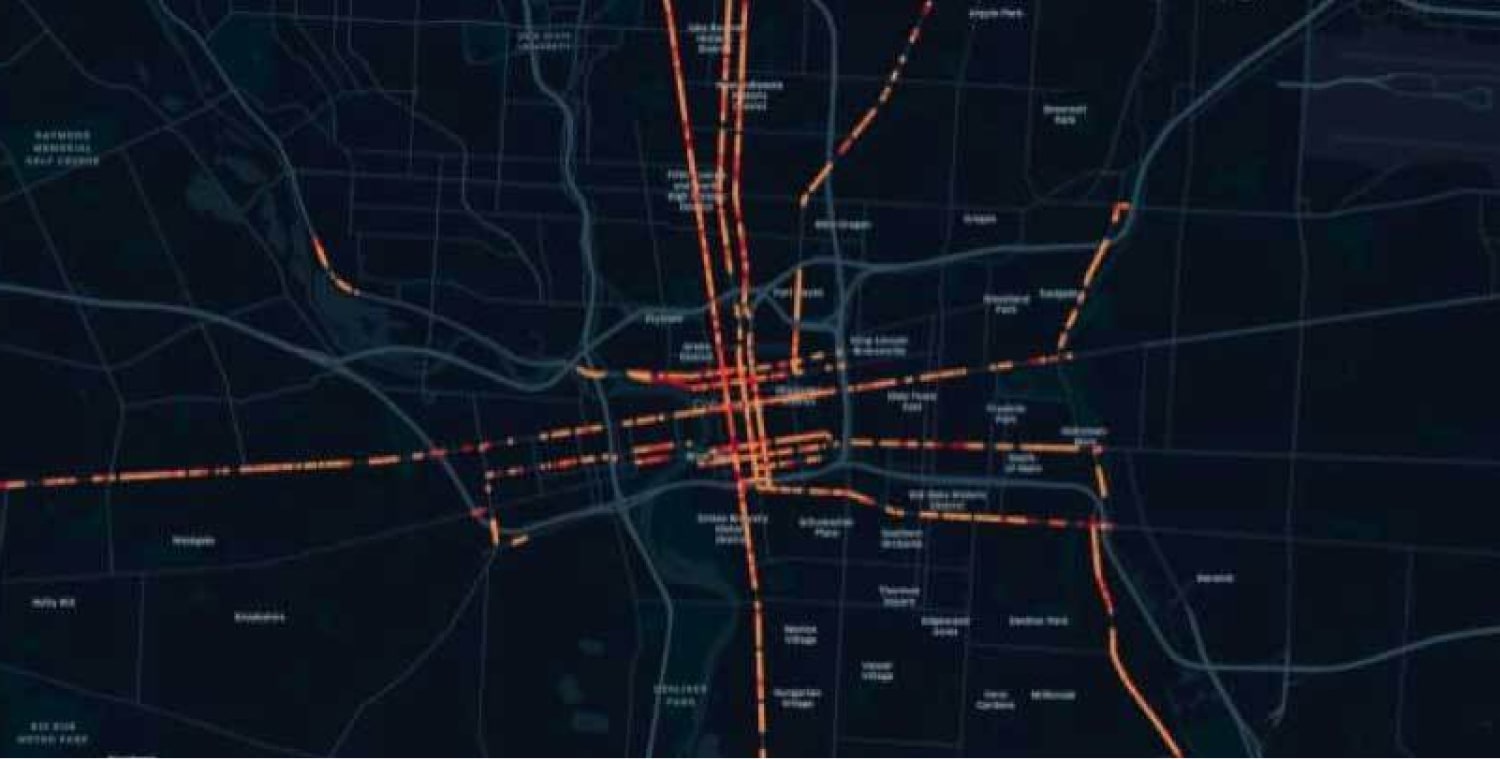
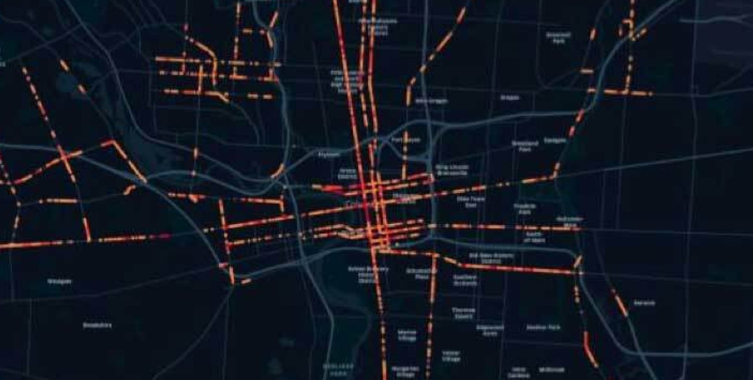
If you’re a parking or traffic planner, you’ll already be aware of the issues caused by last mile deliveries. You may have considered implementing new drop-off zones to help ease delays caused by commercial vehicles.
Or you might be taking the World Economic Forum’s advice: their analysis suggested that effective double-parking enforcement or the implementation of express lanes for delivery vehicles could reduce congestion by up to 29% and 18%, respectively.
But every urban area is different, so who’s to say those measures would be effective in your cities? And even once you’ve chosen your solutions, where should you implement them for maximum effect?
The answer lies in traffic data. Or, more specifically, context-rich traffic data. Our Altitude platform provides you with rich commercial and consumer vehicle insights for smarter planning and management.
It’s what allows you to understand when and where commercial vehicles are travelling — so you can spot problem areas, reduce congestion, and proactively improve the long-term efficiency and safety of your transportation network.
Combine our leading commercial vehicle and freight data with open-sourced street data and gain an expansive and granular picture of road traffic flow.
You can also delve into the nature of commercial vehicle and freight activity on your roads. That way, you’ll be able to identify critical transportation insights — and make informed decisions about the parking needs within your area.
At Altitude by Geotab, we provide you with all the insight you need to make key decisions with confidence. You can find out more about our Altitude data platform here.


