Travel Time vs. Toll Costs: A Traffic Case Study of Toronto’s 407 and 401
Discover how commercial vehicle data reveals the true cost of congestion on Toronto’s 401 vs. the 407 toll road in time, emissions and money.
The Altitude by Geotab team has worked with the Georgia Department of Transportation (GDOT) and the Atlanta Regional Commission (ARC) since December of 2023, supplying agencies throughout Georgia access to real-world data to help guide their transportation projects. They’ve harnessed the power of our insights to develop smarter infrastructure plans that address key challenges like unsafe corridors and inefficient traffic movement. During our event in Atlanta, we showcased the full capabilities of our Altitude platform, giving attendees and partners firsthand knowledge and additional training directly in the solution. Through this event, we helped participants know how to extract even more value from the insights we offer as they continue moving their regions’ transportation planning and resiliency forward.
By providing GDOT and the ARC full access to our Altitude platform, both organizations have a wealth of features and data categories at their disposal to help them construct better transportation infrastructure. Using a combination of deep, contextual insights on commercial travel, each organization can study problematic traffic areas, vehicle tendencies and other important information. This collection of data provides the context necessary to diagnose transportation problems accurately and create new solutions to address them.
Stop Analytics with Altitude helps GDOT and the ARC identify popular truck parking locations and for how long vehicles usually stop at these areas during certain times of the day. Armed with this information, the organizations can plan safer transportation networks and make more strategic use of available urban space. In addition to stoppage data, our Roads product within Altitude offers critical depth on travel durations and average speeds during different times of day. Studying these intervals and data points helps GDOT and the ARC gather rich, actionable information about their regions’ traffic flows.
Origin and Destination data also plays a critical role in GDOT and the ARC’s planning strategies. By helping these organizations understand where commercial vehicles are coming from and going throughout the state of Georgia and city of Atlanta, infrastructure planning becomes more informed. With the capabilities of the Origin and Destination product, they’re able to measure dwell times, last-mile delivery data and specific journey insights to gain a clearer picture of all regional traffic.
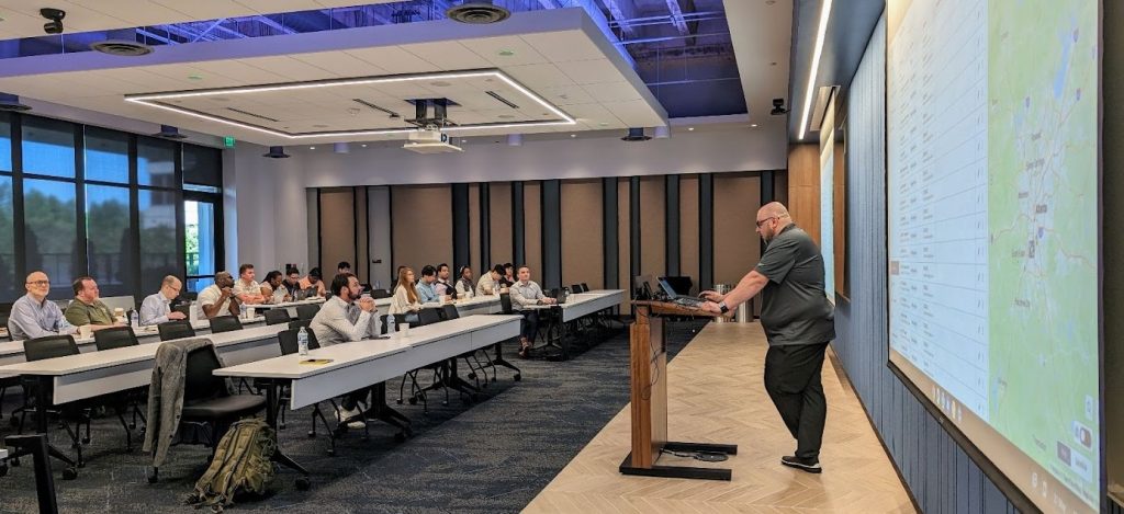
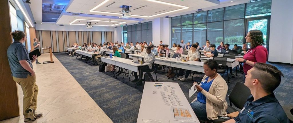
As members of the Eastern Transportation Coalition (ETC), GDOT and the ARC continue to pursue a world with better, safer transportation infrastructure using this unique combination of features. Along with other members of this association, they’re committed to improving the efficiency of their road networks with data. During our recent workshop, we helped attendees, including GDOT and the ARC, go in-depth with Altitude and analyze the exciting potential of our solution through practical use cases and one-on-one training.
Our Contextualized Freight and Mobility Data clinic’s morning session had a variety of individuals from both GDOT and the ARC, ranging from transportation planners and modelers to freight operations professionals and EV infrastructure specialists.
The workshop covered multiple important transportation use cases where data could offer support, such as:
Representatives from GDOT and ARC engaging in hands-on training led by Account Advisor, Paul Piwowarczyk.
The afternoon session, where we opened the workshop up to members of Georgia ITE and ITS Georgia (ITSGA), provided a unique opportunity for attendees to learn more about Altitude by Geotab, with partner presentations and exclusive hands-on training. Our business partners from LOCUS, The Ray, WSP and RS&H each spoke about the powerful ways Altitude by Geotab works with them to help organizations solve specific transportation challenges.
Altitude by Geotab’s Matt Konski, Senior Data Solutions Engineer, ran the hands-on training portion of our workshop and presented on important topics like truck parking data, custom zone creation and long-haul trucking trips. His interactive demo session addressed audience questions about Origin and Destination data and he gauged the audience on their level of comfortability running database queries with Altitude. Through this interactive session, audience members were treated to a truly inside look at the powerful capabilities our platform offers.
Afternoon attendance was supported by individuals from Georgia ITE and ITS Georgia alongside GDOT and ARC.
The success of our Contextualized Freight and Mobility Data clinic in Atlanta reaffirmed Altitude by Geotab’s commitment to not simply just offering our data, but getting truly involved with those who use it. We continue to expand on our Altitude platform’s capabilities and are excited to host more interactive sessions in the future that enable us to engage with planners, policymakers and other transportation professionals. Building a more resilient, safe and sustainable transportation network starts with quality data and working closely with those in the industry. Stay tuned for more information about new workshop opportunities we’re working on and the results of our partnerships with GDOT and the ARC.
Learn more about Altitude by speaking with one of our experts today.