Bridging the Data Gap: Commercial Freight Insights from Five Key U.S. Bridges
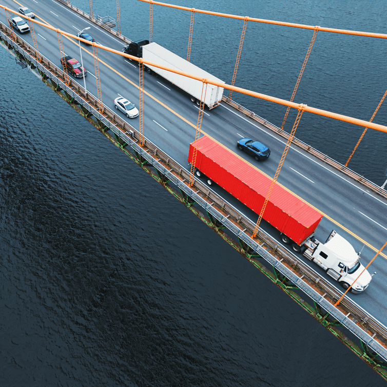
Discover the instrumental role of freight data when developing key policy and transportation infrastructure decisions for five of America’s most critical bridges.
Loading insights and customer stories…

Discover the instrumental role of freight data when developing key policy and transportation infrastructure decisions for five of America’s most critical bridges.

Understanding how transportation planners can use vehicle vocation information for meaningful analysis.
A partner success story of how a combined commodity flow database from Altitude by Geotab and S&P Global helped WSP develop an advanced state freight plan for Rhode Island.
Analyzing parking behavior of heavy-duty trucks along highway networks in the U.S.
The transportation sector is the largest contributor of greenhouse gas emissions in the U.S., contributing 27% of the nation’s total GHG every year. By implementing insights from Altitude by Geotab data to transform highway infrastructure, The Ray is playing a critical role in reducing this environmental damage and creating a sustainable, net-zero future for transportation. Read the case study and discover more.
Discover how insights from medium and heavy-duty commercial vehicle data can help plan for fast charging for highways corridors to reduce the future carbon footprint. Further explore how to plan for specific charging demand, electric capacity and site upgrades, to build grid infrastructure.