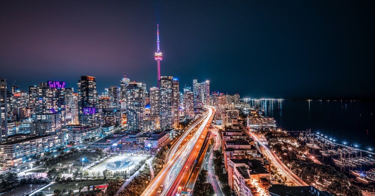
Oakville, ON (June 5, 2025) – New analysis of traffic patterns on Toronto’s Gardiner Expressway reveals a harsh reality for commuters and commercial fleets alike: ongoing construction is effectively doubling travel times in key areas, creating slower commutes and fleet delivery interruptions, which is hitting businesses where it hurts the most: their bottom line.
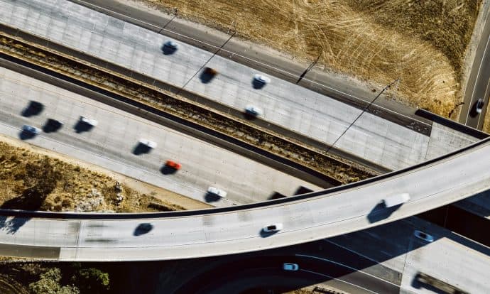
This year, we found the most congested sections of the Gardiner experienced a delay of about 230%, while travelling the whole segment of the Gardiner between Highway 427 and Cherry St. generally takes twice as long as before construction started.
Traffic Study Key Findings:
Data from Altitude by Geotab paints a picture of the continuing congestion since the latest construction phase began on April 16, 2025. This ongoing disruption translates into tangible costs, particularly for businesses including:
- Double the Delay: Commuters who travel along the entire length of the Gardiner during the AM Rush Hour can expect double the travel time, since the latest construction phase commenced reducing lanes along Park Lawn Road.
- Business Interruptions: The inability of commercial fleets and businesses to effectively meet daily scheduling demands as their drivers are spending more time stuck in traffic.
- Work-related Stress: In a recent Geotab safety survey of fleet professionals, 68% of respondents reported that work-related stress negatively impacts their driving and 34% considered leaving their job in the past year.
- Productivity Loss: Added pressure to the regional congestion problem which is already costing billions annually in lost productivity and economic activity (Source: Toronto Region Board of Trade cite figures exceeding $44 billion).
“The data clearly shows the significant strain of the Gardiner Expressway construction on daily commutes and business in the Greater Toronto Area,” said Mike Branch, VP, Data and Analytics, Geotab. “This is particularly impactful for commercial fleets who have no choice but to use this key expressway to conduct business. They carry goods and equipment or are responding to service calls that can’t be transferred to transit. For a fleet driver, the doubling of travel times can represent lost productivity, fewer deliveries, longer hours and more stress.”
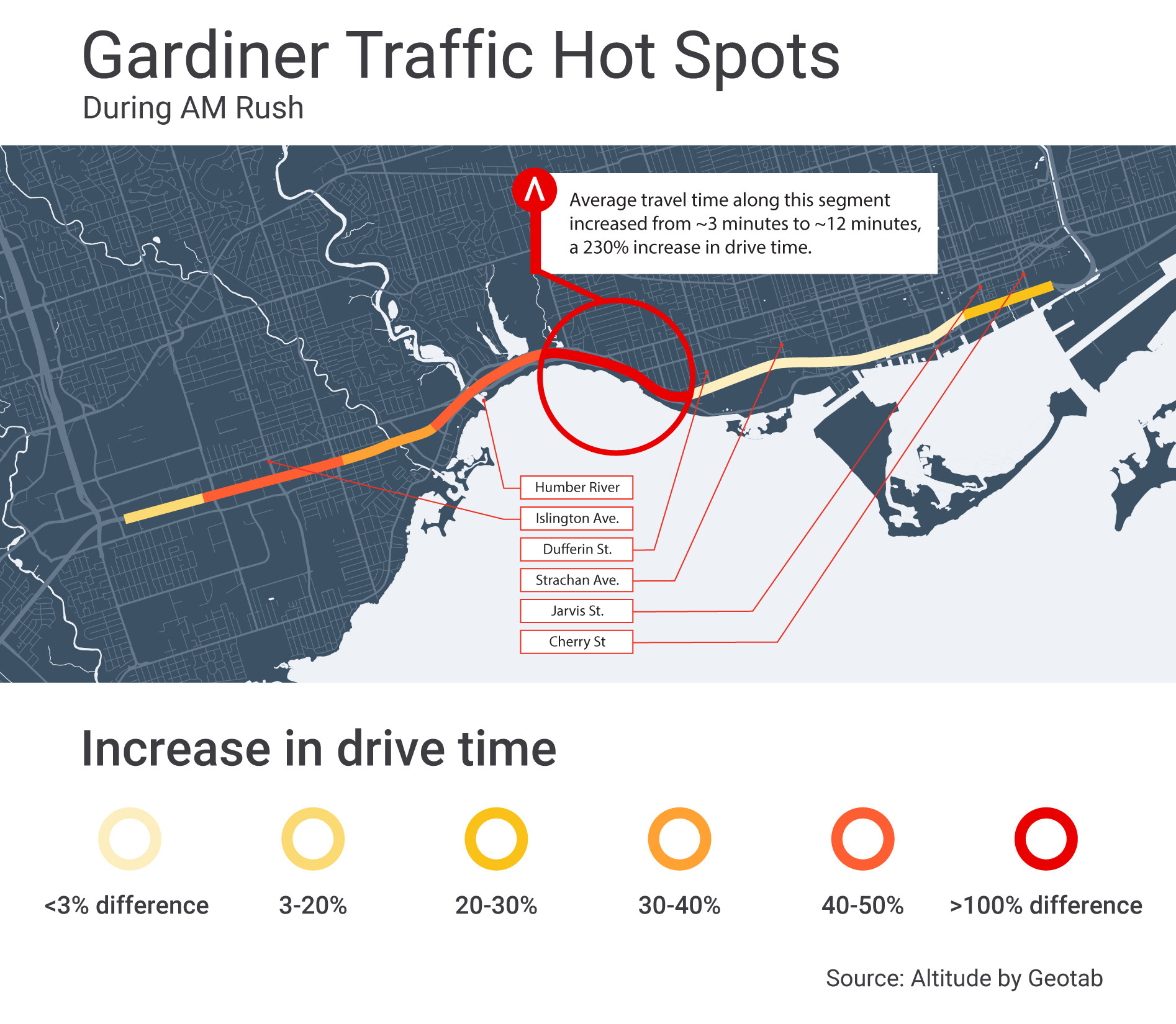
The map above shows increased eastbound travel times on the Gardiner Expressway towards downtown Toronto during the 7:30-8:30 a.m. rush hour, comparing early 2024 (pre-construction) with conditions after new construction began in 2025. The most significant delays are observed between Colborne Lodge Drive and just past Jameson Avenue.
“The traffic patterns in large cities like Toronto impact the entire region,” added Branch. “Construction alone is one factor that can affect traffic flow. When you add a large sporting event, concert or other community event, you have a picture of where the bottlenecks will be. With the roadwork expected to continue next year, drivers should plan for significant delays along their commutes..”
Altitude by Geotab insights help cities and regions understand the impact of long-term events like construction and make informed planning decisions that promote safer, smoother traffic flows.
For more information about the Gardiner Traffic Study, please visit: https://altitude.geotab.com/news-and-releases/gardiner-expressway-follow-up-report/