
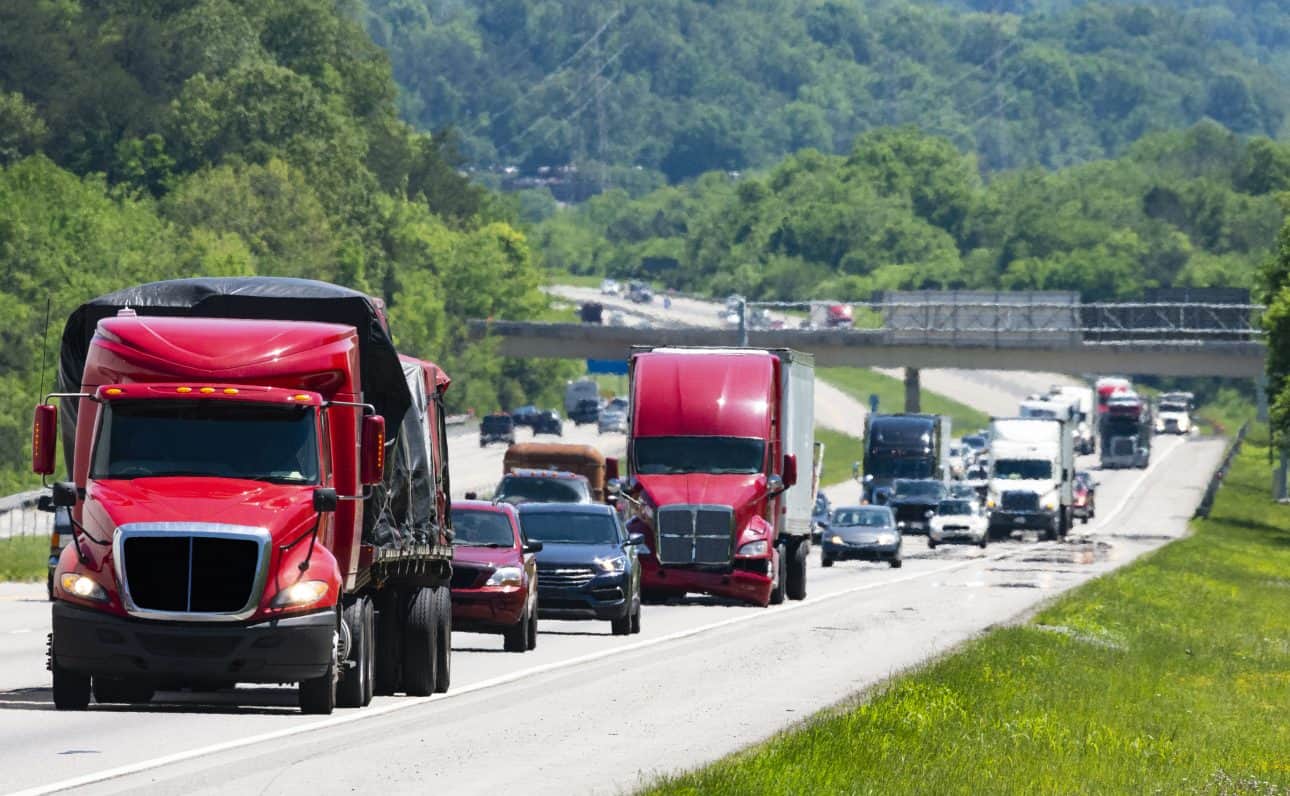
A Nationwide Study of Truck Parking on Interstate Ramps
A data driven investigation into heavy-duty truck trips that end in ramp parking events from Altitude and HNTB.

Altitude by Geotab provides reliable and contextualized mobility insights for public and commercial sector decision-makers to gain a complete understanding of movements across road networks. This enables our customers to make informed strategic decisions like improved planning capabilities and also drive better outcomes for their organization without the challenge of finding trustworthy and usable data sets. As the primary source and processor of mobility data, we prioritize confidentiality and privacy while maintaining the full context of vehicle movements.

A data driven investigation into heavy-duty truck trips that end in ramp parking events from Altitude and HNTB.
Read Altitude’s eBook to understand common threads between all 50 state freight plans and the 3 top challenges for planners to address in 2026.
Report by Smart Freight Centre, Altitude by Geotab, and Terawatt Infrastructure Finds EV Truck Transition Feasible Now with Strategic Charging.