A Nationwide Study of Truck Parking on Interstate Ramps
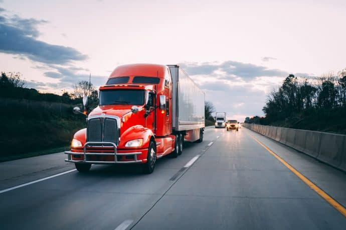
A data driven investigation into heavy-duty truck trips that end in ramp parking events from Altitude and HNTB.


Traffic patterns will likely be in a state of flux for years to come as we deal with the wake of the pandemic. Lockdowns, less commuter traffic and the rise of e-commerce have left transportation planners making major adjustments to manage these drastic shifts in commercial transportation.
Discover why planners will require insight and context into not only traffic volumes, but how and why goods move in order to better plan for future transportation infrastructure and regulations to support these changes.

“In the unpredictable post-pandemic environment, static systems that only collect traffic information in set locations are inadequate for monitoring, planning and managing commercial door-to-door parking. Leaders need versatile, scalable solutions to gather vital data on how commercial traffic patterns are changing.”
A data driven investigation into heavy-duty truck trips that end in ramp parking events from Altitude and HNTB.
Read Altitude’s eBook to understand common threads between all 50 state freight plans and the 3 top challenges for planners to address in 2026.
Report by Smart Freight Centre, Altitude by Geotab, and Terawatt Infrastructure Finds EV Truck Transition Feasible Now with Strategic Charging.