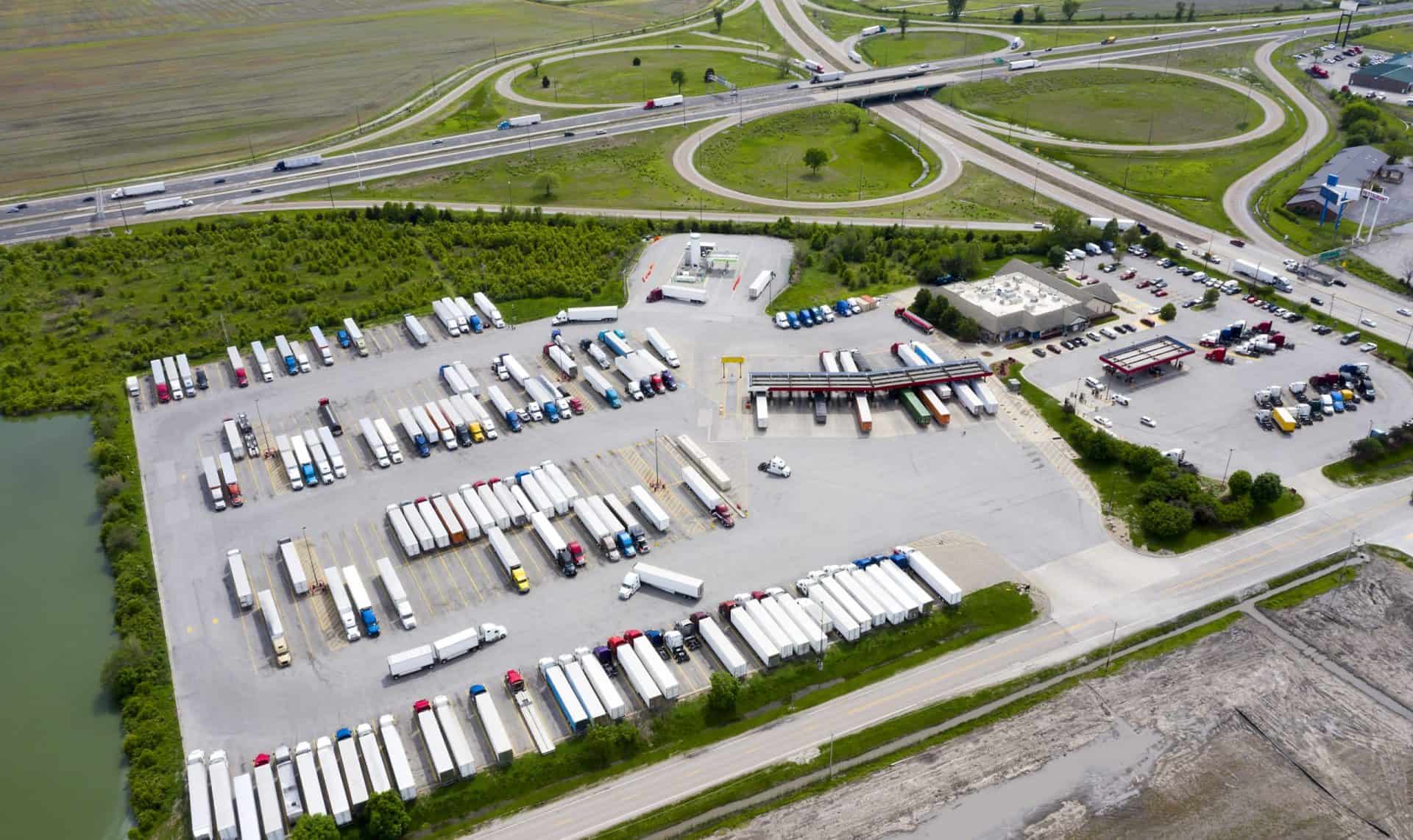
Domicile areas
Provides detailed descriptions and identifiers for zones (state, county, city, census tract or custom zone), helping users understand common vehicle stop areas for strategic infrastructure planning and resource allocation.
Regional Domicile Analytics in Altitude’s Stop Analytics Module helps you understand in which areas commercial vehicles stop and for how long, making it easier to find the best locations for charging and refueling sites. Get comprehensive insights into vehicle stops with reliable data from the primary source of commercial vehicle information. This tool provides critical insights into domicile behavior, enabling public sector and commercial planners to accurately plan, estimate and forecast. Regional Domicile Analytics is essential for understanding not just vehicle movements and stop locations, but also aggregate metrics such as travel distance, duty cycle stops and domicile stop durations.

Gain unparalleled insights into vehicle movements and stops with granular, reliable data from the primary source of commercial vehicle information.
Knowing how long vehicles are stopped is critical for planning electrification, recharging durations and refueling schedules. This data helps infrastructure meet the needs of vehicles based on their stop durations.
Filtering by location distances is essential for future scenario planning. This feature supports strategic infrastructure placement and resource allocation.
Altitude is the primary source of commercial vehicle data, offering insights with unmatched integrity from over four million vehicles. This includes detailed information on vehicle class, vocation, fuel type and industry.
Surface consistent and reliable vehicle and trip information across various dimensions like vocation, class, industry and fuel types. This contextual data provides a holistic view of vehicle movements, enhancing strategic planning.
Unbroken trip data allows comprehensive analysis of years of traffic movement and stop behavior, keeping data confidential.
Our stringent confidentiality and privacy standards enable us to provide our insights without compromising driver, vehicle or company information.
Use powerful tools for filtering and analyzing vehicle domicile duty cycle data, aiding in precise planning and forecasting for public and commercial planners.
Provides detailed descriptions and identifiers for zones (state, county, city, census tract or custom zone), helping users understand common vehicle stop areas for strategic infrastructure planning and resource allocation.
Offers total counts of domicile duty cycles and eligible vehicles, segmented by fuel type, industry and vehicle class. This data supports accurate planning and resource optimization by illustrating where and how frequently vehicles stop.
Calculates average, median and percentile values for the duration of stops at both domicile and non-domicile areas. This information is essential for understanding the variability needed for planning charging and refueling infrastructure to meet vehicle stop duration needs.
Provides detailed metrics segmented by vocation, fuel type, industry and vehicle class. These insights enable targeted analysis and strategic planning tailored to specific vehicle segments and industries.
Offers average, median and percentile values for domicile duty cycle distances. Understanding the range and distance between domicile areas aids in strategic infrastructure planning, resulting in efficient coverage and optimal resource allocation.
Altitude by Geotab provides reliable and contextualized mobility insights for public and commercial sector decision-makers to gain a complete understanding of movements across road networks.
This enables our customers to achieve improved planning capabilities as well as better financial outcomes, without the challenge of finding trustworthy and usable data sets.
As the primary source and processor of mobility data, we prioritize complete confidentiality and privacy while maintaining the full context of vehicle movements.

Access comprehensive insights into vehicle domicile patterns with our advanced analytics. Book a demo to see how Regional Domicile Analytics can improve your understanding of vehicle behavior and optimize operational planning.