Spot high-value stop clusters
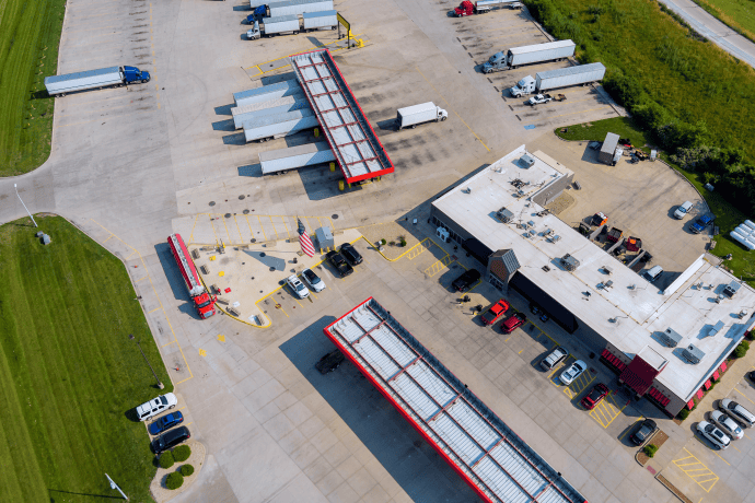
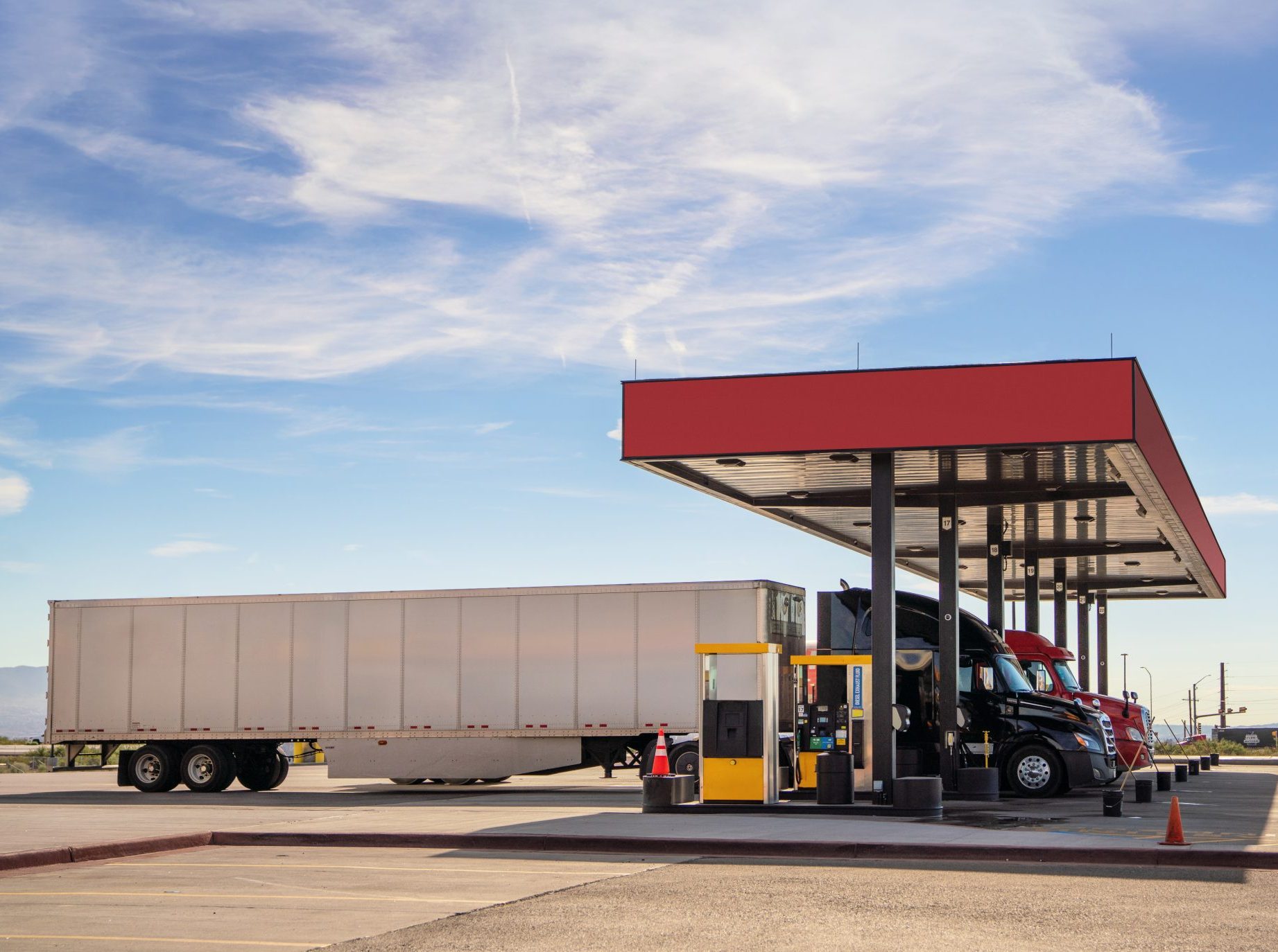
Heat maps reveal exactly where commercial vehicles park, idle, and refuel, pinpointing interchanges that warrant diesel islands, showers, and late-night food service.
Altitude maps real-world movement of commercial vehicles—from vans to Class 8 tractors—revealing true fuel demand. Discover emerging corridor growth opportunities and site-level performance to capture gaps before a shovel hits the ground.
Altitude converts raw movement data into clear fuel-demand signals, separating commercial fleets from commuter noise so you can build where trucks and work vans already stop — and spend.
Heat maps reveal exactly where commercial vehicles park, idle, and refuel, pinpointing interchanges that warrant diesel islands, showers, and late-night food service.

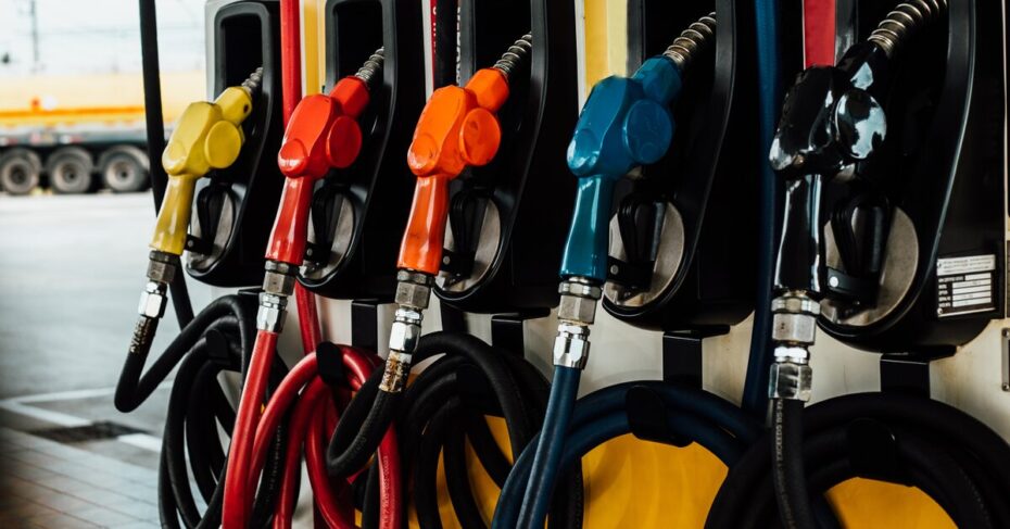
See pass-by volumes broken down by vehicle class and fuel type to spotlight locations with the highest commercial-fuel demand and prioritize your build and service mix accordingly.

Follow fleets from origin to destination to learn which sites they use, which they skip, and where faster pumps or fleet-card promos can steal share.
Pinpoint regional commercial demand before you break ground. Altitude shows exactly where commercial vehicles travel, stop, and refuel—down to the interchange—so you see real market share, not estimates. Know the diesel-versus-gasoline mix on every corridor, where turn-in rates peak, and which gaps competitors leave open. With these demand signals you can right-size pumps, parking, and amenities, opening each new station ready to capture share from day one.
Each module transforms commercial vehicle data—road flow, stop behavior, origin-destination paths, vehicle mix, and regional travel metrics—into clear site-selection actions that capture high-value gallons from day one.

Altitude pinpoints the exact corridors and interchanges where work vans, box trucks, and tractors refuel—so you invest only in sites primed for high gallons and repeat spend. Book a corridor scan to see your real market share.


Let us show you how we can transform your approach to fuel station site selection today.