Skip to Main Content

Alternative Fuels and Charging

Choose better sites for charging and refueling depots with insight into truck dwell times and range.

Fuel the transition to sustainable transportation

The transition to less carbon-intensive fuels presents a challenge for public and private sector planning professionals in making long-term investment decisions for resilient infrastructure. These decisions can be difficult without the best information, and poor choices only become evident over time through underused infrastructure or poor financial performance. Altitude provides planners with reliable and detailed insights into commercial vehicle movements and stop locations, equipping them with the best available information. This provides confidence that biodiesel, electric, ethanol, hydrogen and other alternative fuel infrastructure are placed at the best locations possible for maximum use.

An aerial view of a highway interchange with multiple elevated roadways curving over a green landscape. Traffic is visible on all roads, with a mix of cars and trucks moving or waiting, particularly on ramps leading to or from the highways. The surrounding area is lush with trees and grass, creating a contrast between the natural environment and the concrete infrastructure.

Fuel the transition to alternative sources

Analyze regional demand for commercial vehicle charging and alternative fuel stations to identify the best locations for long-term, resilient infrastructure.

Analyze various planning scenarios to forecast alternative fuel demand across different geographies, from nationwide to specific depots, down to the road segment.

With a variety of filtering options, users can flexibly analyze anticipated changes in vehicle range and charging times. This is based on detailed real-world metrics, such as domicile duty cycles and stop durations, helping enhance forecast accuracy for current and future scenarios.

Determine electrification potential to forecast commercial EV market share for a state, region or city. Segment total market share with contextual information such as vehicle vocation and class for unparalleled specificity to plan for site infrastructure for heavy, medium, last-mile or passenger vehicles.

Forecast future fuel demand requirements for possible locations by identifying which days of the week and month are likely to experience higher demand for alternative fuels. This is a crucial input to planning for the adoption of alternative fuel use and charging.

Determine the best locations for alternative fuel and refueling stations. Use reliable market-representative data on commercial vehicle movement patterns for unmatched accuracy in tracking, analytics and precision site selection.

Estimate the potential energy and load requirements for charging sites. Use domicile-to-domicile movement data, rest times and distance thresholds to forecast charging start and stop times down to the hour of day.

Enhance alternative fuel infrastructure placement

Access contextual insights into commercial vehicle movements with specialized tools to support the development of resilient infrastructure.

Stop Analytics Module

Gain insights into vehicle stop patterns to identify optimal locations for alternative refueling and commercial charging stations. This module provides detailed metrics into aggregate vehicle stop patterns segmentable by class, fuel type, vocation and stop duration.

Regional Domicile Analytics

Identify areas likely to electrify or transition to alternative fuels based on vehicle driving range and time of rest at their domicile. This module provides a generalized understanding of stop behavior to help identify charging infrastructure opportunities.

Regional Travel Metrics Module

Understand vehicle travel patterns and characteristics within a specific geography. This module offers essential metrics to understand the volume and composition of traffic in an area of interest.

Route Analytics

Analyze routes between origin and destination pairs to gather metrics like journey counts, vehicle breakdowns and travel times. Identify commonly used routes based on vehicle types and integrate this with Stop Analytics for more comprehensive insights. Route Analytics provides detailed information on popular routes, supporting strategic decisions on the placement of electrification and refueling depots.

Expansion Factors

Gain insights by breaking down traffic volumes into heavy, medium and all commercial and non-commercial vehicles. This feature supports precise planning for electrification and refueling depots, helping developers accurately forecast demand and make effective site selection decisions.

About the Altitude platform

Altitude by Geotab provides reliable and contextualized mobility insights for public and commercial sector decision-makers to gain a complete understanding of movements across road networks.

This enables our customers to achieve improved planning capabilities as well as better financial outcomes, without the challenge of finding trustworthy and usable data sets.

As the primary source and processor of mobility data, we prioritize complete confidentiality and privacy while maintaining the full context of vehicle movements.

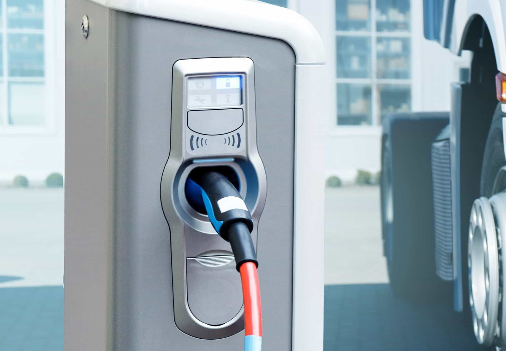
A close-up view of an electric vehicle charging station with a charging cable plugged into the port. The charger has a sleek metallic design, with icons and indicators above the port displaying charging status. In the background, part of a large vehicle, likely a truck, is visible, suggesting a focus on electric commercial vehicles.

Altitude elevates alternative fuel plans

Experience strategic infrastructure planning with contextualized mobility insights. Book a demo to discover how you can achieve optimal site selection for charging and refueling stations.